mapthexperience.com
Joshua Tree National Park Handy Map Microfiber Cloth Bandana
Joshua Tree National Park Handy Map Microfiber Cloth Bandana
Couldn't load pickup availability
Joshua Tree National Park Handy Map Microfiber Cloth Bandana
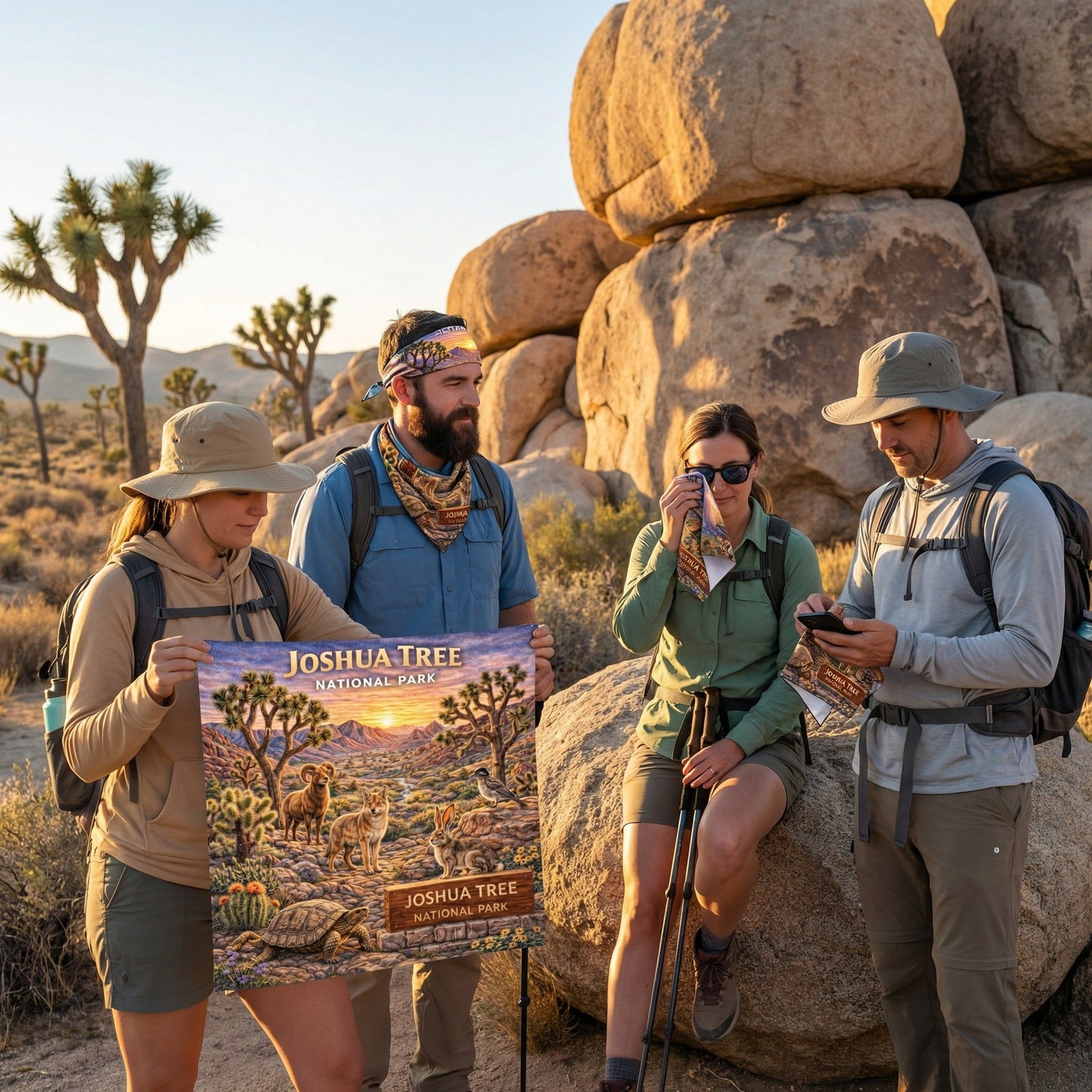
More than a bandana—this is a GPS-accurate map of Joshua Tree National Park built into a 22” x 22” premium microfiber cloth. Featuring detailed park roads, hiking trails, climbing areas, backcountry routes, campgrounds, and key landmarks, it’s designed to help you confidently explore this iconic desert landscape.
Each cloth includes a free mobile map download that works in the Avenza Maps app—fully GPS-enabled and functional without cell service or internet, so you can navigate remote desert terrain and rugged wilderness with precision.
Printed edge-to-edge on ultra-soft, scratch-free, quick-drying microfiber, it’s built for real adventure—safe for sunglasses, optics, screens, and skin.
Why It Belongs in Your Pack:
-
GPS-accurate, waterproof Joshua Tree National Park map
-
Free Avenza mobile download (offline capable)
-
22” x 22” lightweight, breathable, quick-drying
-
SPF 30+ sun protection
-
Safe for lenses, screens, and optics
-
Wear as a bandana, neck gaiter, headband, or cooling towel
-
Machine washable and reusable
Twisted trees. Granite boulders. Desert sky. Adventure-ready.
Share